Evan Burger continues his series on redistricting with analysis of some of the reddest and bluest possible Congressional districts.
On August 12, the Census Bureau released the “PL 94-171 Redistricting Data File” – the official population counts of every precinct, city, county, and state in the country, as of April 1, 2020.
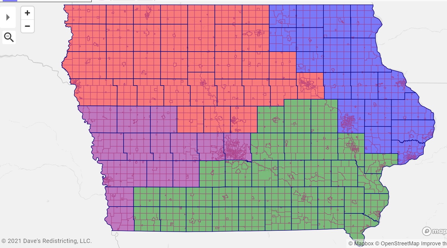
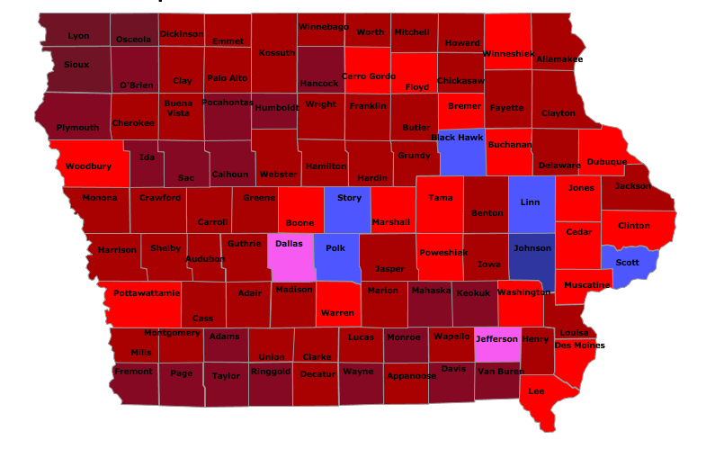
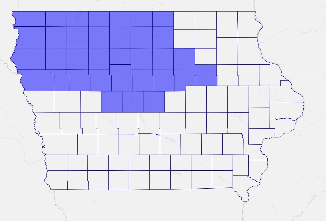
As I wrote last weekend, Iowa’s redistricting process can now start in earnest – and members of the public can get a clearer view of what districts are possible. For today, I’ll focus on the implications for Iowa’s Congressional maps. Future articles will contain similar analysis at the legislative level.
Continue Reading...